|
|
|
|
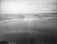
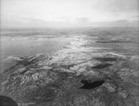
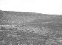
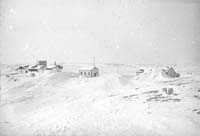
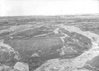
Environment:Chesterfield
"This part of Canada is approximately one-half solid rock, and one-half lake and muskeg...Chesterfield is located on a sheltered bay in the south side of the inlet. The site is one of the rockiest I have ever seen and best examined during daylight hours. After dark a latern or flashlight is absolutely necessary. Otherwise one is likely to break an arm or leg falling in cracks in the rocks or over jagged chunks that have been thrown up by the action of frost." - Balfour Currie
Previous - Environment | Next - Marble Island |
||||||||||||||||||||||